| Company Name |
TimTech Computer |
| Address |
5383 Highland Trace Blairsville GA 30512 USA |
| Contact |
tim Helton |
| Contact Email |
rgs@robogeo.com |
| Author |
tim Helton |
| Release Date |
01 11 2003 |
| Type |
demo |
| OS Support |
Win95, Win98, WinME, WinXP, WinNT 3.x, WinNT 4.x, Windows2000 |
| Language |
English |
| System Requirements |
Windows 95/98/NT/ME/XP/2000 |
| Limitations |
Intentional errors are added to the latitude and longitude values. |
|
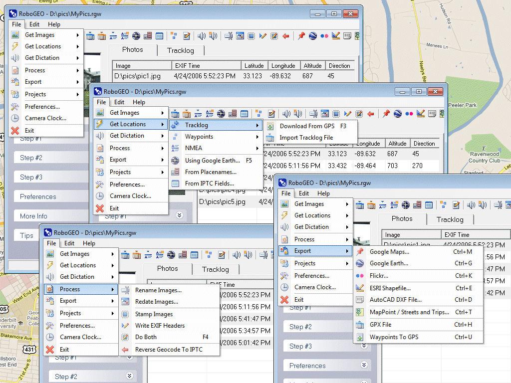
Georeference digital images with latitude, longitude, and altitude information. RoboGEO stamps this information onto the actual image and writes it to the JPG's EXIF headers, allowing you to permanently geocode and link the digital photo to the GPS coordinates. Now you can know WHERE a given photo was taken. RoboGEO works with any digital camera that produces EXIF format images (virtually all do) and includes direct support for Garmin GPS units, but no GPS is actually required. RoboGEO can import G7ToWin tracklog files for interfacing with other GPS makes and models. Very easy to use. Perfect tool for hikers, boaters, realestate agents, and geocaching. Low cost. Extensive on-line documentation.
|